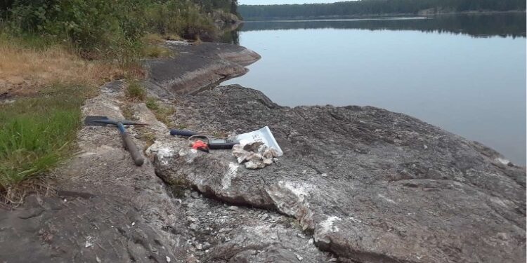
Critical Resources Limited (ASX:CRR) has commenced a four-week long field programme consisting of biogeochemical and lithogeochemical sampling and outcrop mapping at its 100% owned Graphic Lake Lithium Project in Ontario, Canada.
Highlights Biogeochemical Survey
- · Sampling of black spruce throughout the property to identify lithium mineralisation trends along known pegmatite locations
- · Proposed greater than 1000 black spruce samples, with tight sample spacing of 50m with 200m line spacing sample grid
Lithogeochemical Sampling
- Systematic bedrock sampling to identify lithium mineralisation of pegmatite occurrences
- Sampling of host rock to identify regional metasomatism trends Outcrop Mapping
- Geological mapping at every exposed outcrop to enable construction of a regional geological map
- Identify structural trends and orientations of pegmatites
The company has started the northern Summer season field programme at its 100% owned Graphic Lake Lithium project in Ontario, Canada.
“It’s now a great opportunity for us to begin works at our Graphic Lake project, while at the same time continuing our drilling at Mavis Lake,” Managing Director, Alex Biggs, said.
“The significant presence of outcropping pegmatites is a fantastic guide for us to further our exploration and begin defining drill targets along the 5.5km strike of known pegmatite occurrences. Graphic Lake is a great opportunity to potentially discover significant lithium bearing mineralisation which will be hugely complimentary to our Mavis Lake project. Our continued exploration success is seen as a key catalyst to the company developing a lithium hub in Ontario, Canada.”
Work Programme
The work program at Graphic Lake will consist of the following field activities.
Biogeochemical Survey
A 200m line spacing by 50m sample spacing grid of the black spruce samples is designed to test anomalous lithium values in the rugged terrain. The purpose of the black spruce sampling is to identify and delineate lithium mineralisation trends within the property. From the results, we can narrow in on areas of lithium abundance.
Lithogeochemical Sampling
Every exposed pegmatite will be sampled as well as the metasedimentary host rock to identify lithium mineralisation. Lithogeochemical samples will provide evidence of in-situ lithium mineralisation.
Outcrop Mapping
Every exposed outcrop will be mapped to create an active regional geology model. Outcrops of interest will have detailed mapping performed to provide geological insight on prospective areas within the Graphic Lake property.
The combination of the preliminary grassroots work will be used to support the identification of prospective lithium-bearing targets for drilling. Geophysical surveys are planned to be flown over the Graphic Lake property to provide more confidence on these lithium targets. For further information please visit: https://www.criticalresources.com.au/


