Accelerating Follow Up Of Recent Uranium Discoveries
Marenica Energy Limited (ASX:MEY) has commenced an extensive airborne electromagnetic (airborne EM) survey covering an area of 1,500 square kilometres over the company’s tenements, in the Namib Area of Namibia.
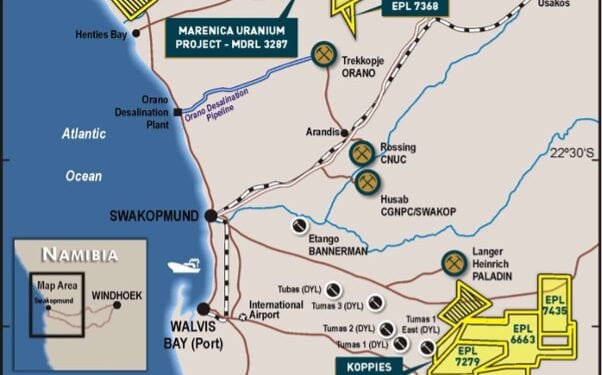
The Namib Area hosts the Koppies and Hirabeb uranium discoveries and the recent discovery of a palaeochannel system at Namib IV.
Airborne EM is an airborne electromagnetic geophysical survey used to identify the outline and indicative depth of palaeochannels, from which drilling programs will be planned.
Managing Director, Murray Hill, said the EM survey and data analysis are expected to be completed within three months.
“The commencement of the airborne electromagnetic geophysical survey marks an acceleration of our exploration efforts in Namibia,” Mr Hill said.
“The EM survey covers an area of 1,500 sq. km over our tenements in the greater Namib Area. Airborne EM can cover 120 to 150 km/hour, compared to 3 km/day by HLEM.
“This greatly accelerates the company’s exploration program in Namibia. It is intended that airborne EM will largely replace the ongoing use of HLEM, although, in select areas we may still use HLEM. The EM survey will include Hirabeb where we have identified a palaeochannel longer than the width of the English Channel.”
The Namib Area, which includes Koppies, Hirabeb and Namib IV, is characterised by featureless terrain with no obvious surface expression to identify palaeochannels.
To date Marenica’s exploration method to locate these featureless palaeochannels, has been to complete ground-based geophysics, horizontal loop electromagnetic (HLEM) surveys, to confirm the location of the palaeochannels, before drilling to validate the HLEM survey results and to determine the area of uranium mineralisation.
Mr Hill said this exploration method has proved successful in identifying an extensive palaeochannel system hosting uranium mineralisation at Koppies and Hirabeb, and an extensive palaeochannel system at Namib IV with drilling planned to confirm the presence of uranium mineralisation.
Airborne EM is a comparable geophysics method to HLEM that covers the area of interest at a significantly faster rate, airborne EM can cover 120 to 150 km/hour, compared to 3 km/day by HLEM. This greatly accelerates the company’s exploration programme in Namibia.
Mr Hill said Iit is intended that airborne EM will largely replace the ongoing use of HLEM, although, HLEM may continue to be used in selected areas or more detailed programmes.


