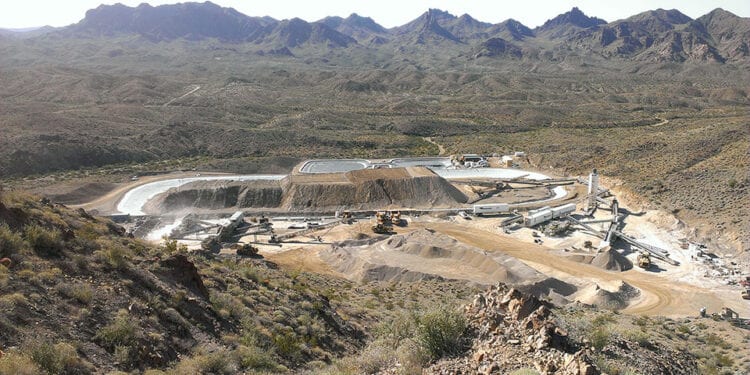
Takes Up Regional Mineral Position In Oatman Mining District
Northern Vertex Mining Corp.(TSXV: NEE) has significantly expanded its property holdings around the Moss Mine in NW Arizona and has obtained property-wide hyperspectral alteration mineral data.
The company has increased the size of its property around the Moss Mine from approximately 47 sq. km to almost 169 sq. km through a combination of staking and land acquisition.
Property expansion was driven by the results of a detailed review of the regional geology, publicly available online mineral resources spatial data, and information in a comprehensive historical database compiled by the company, which highlighted the district-scale exploration potential around the Moss Mine.
President, Michael Allen, said Northern Vertex now controls a district-scale property around the Moss Mine.
“We are pleased to be able to establish ourselves as the dominant mineral rights holder in the Oatman District via staking,” Mr Allen said.
“The Oatman district has historical production of over two million ounces of gold but has seen very little modern exploration.
“Establishing a large highly prospective land package then systematically exploring it is a time-tested strategy for unlocking shareholder value.
“We are uniquely positioned by having an established mine in the district.”
Northern Vertex Vice President of Exploration, Warwick Board, said the presence of numerous historic mines, adits, workings, and showings in the broader Oatman Mining District and their apparent relationship to key regional to local geological structures, underlined the district-scale potential around the Moss Mine and was the driver behind acquiring more land.
“A preliminary review of the hyperspectral alteration mineral data has already supported the decision to expand our land package, and it is being used to optimise our exploration plans,” he said.
Mapping hydrothermal alteration minerals is a powerful tool for vectoring towards mineralisation and mineral deposits. Alteration minerals have distinct electromagnetic spectral signatures that can be used to map out their spatial location and associations.
Hyperspectral imaging collects and processes data from across the electromagnetic spectrum, allowing different alteration mineral signatures to be differentiated and mapped.
Hyperspectral alteration mineral data were collected for the entire Moss property using the WorldView-3 satellite. Data collation and processing was conducted by PhotoSat Information Ltd. The hyperspectral data is being used in conjunction with geological mapping, surface sampling, and drilling data, for exploration target generation and prioritisation for follow-up work.
For further information please visit: https://www.northernvertex.com/


