West Australian focused gold exploration and development company, Rox Resources Limited (ASX: RXL) is preparing to commence diamond drilling to target a strong electromagnetic (EM) conductor at the Mt Fisher Gold Mine.
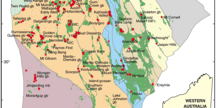
The Mt Fisher-Mt Eureka Gold Project is located in the Northern Goldfields, about 500km northeast of Kalgoorlie (about 120km east of Wiluna) within the Mt Eureka greenstone belt. This belt is located 40km east of the prolific Yandal greenstone belt, host of significant gold deposits including Jundee, Bronzewing and Mt McClure.
Rox holds 850 sq. km of the Mt Eureka greenstone belt and surrounding prospective zones (Rox 100% 500 sq. km) and via the Cullen Resources JV, 350 sq. km (Rox currently earning up to 75%, Cullen Resources Limited 25%).
A 4,000m RC and diamond drill programme is currently being conducted on high priority drill ready gold targets generated from a recently completed project review.
Target areas were identified from existing historic geochemical and geophysical datasets. The highly prospective Mt Eureka greenstone terrane hosts extensive orogenic gold mineralisation. Numerous high-grade gold occurrences warrant immediate follow up drilling including: The Mt Fisher Mine, Dam/Damsel Gold Trend, Wagtail, Taipan, Southern-Galway and Eureka North-West.
Outlook and planned work programmes
Rox believes that the Mt Fisher – Mt Eureka Gold Project has the potential to host significant sized gold deposits and economic VMS mineralisation.
Immediate work streams include:
• Internal project scale review and target generation (COMPLETED);
• Reconnaissance aircore drilling over the Mt Fisher Fault (COMPLETED);
• 4,000m RC programme to test priority drill ready gold targets (IN PROGRESS); and
• Project wide high resolution (50m spaced) aeromagnetic surveying (IN PROGRESS).
Reconnaissance drilling of 160 aircore holes for 7,300 metres was completed to test the intersection of the regional scale NE trending Mt Fisher Fault with favourable NNW trending stratigraphy.
The Mt Fisher Fault is believed to be a regionally important, perennially reactivated basement structure. The fault is likely a feeder conduit, syngenetic with Au and VMS style mineralisation at the Mt Fisher Mine and Dam/Damsel/Dirks gold trend.
Assays remain pending for all holes. Regional Geological Setting The project area is located within the Eastern Goldfields Superterrane of the prolific Yilgarn Craton.
Most of the Archean gold deposits in the Yilgarn Craton belong to a group structurally controlled orogenic gold deposits. At the regional scale, most of the Yilgarn’s orogenic gold deposits are spatially associated with crustal scale faults in settings where there has been favourable mineralising fluid migration and a gold deposition mechanism.
Within greenstone belts of the Eastern Goldfields Superterrane, significant gold deposits are typically distributed along specific regional structures formed under compressional regimes. Due to their association with regional structures, such gold prospects are typically located at the boundaries of contrasting lithologies or age domains within the greenstone belts.
Within greenstone belts, the gold deposits commonly cluster along structures where they are localised at bends/kinks or at the intersection of two or more faults.
The Mt Fisher-Mt Eureka Gold Project area straddles the Kurnalpi – Burtville Terrane boundary, with the boundary transecting the greenstone belt. This major NNW trending structure (Hootanui Shear) is potentially a deep-seated gold plumbing conduit.
Such features are linked to the occurrence of nickel-sulphide and gold deposits. Geological setting of the Mt Fisher-Mt Eureka Gold Project has the potential to host major gold deposits.
For further information please visit: https://www.roxresources.com.au/


